
You check the app: a sun peeking out from behind a cloud. Looks like beach weather. But 20 minutes into your drive, the sky turns slate gray and it starts pouring. Sound familiar?
The truth is, weather apps are struggling right now—and there’s a good reason why.
Across the country, forecasts are blowing up. Storms are forming and dissipating too fast for most consumer apps to keep up. According to DR’s weather presenter Nina Bendixen, we’re in the thick of a classic late-summer pattern: sun, showers, and thunderstorms flipping every few hours.
Here’s the problem. Your weather app is designed for simplicity. It gives you a symbol—sun, rain, cloud—based on what’s most likely to happen. But when the forecast is essentially 50/50, that symbol is a coin toss dressed up as certainty.
“The symbols should give a clear answer, but they don’t show how uncertain the forecast actually is,” Bendixen explains. “And right now, it’s hard to say. The air mass above us is unstable.”
Some apps try to refine this with rain percentages—20%, 60%, 80%—but even those numbers can be misleading. A 40% chance of rain might mean it’ll rain hard in one neighbourhood while the next block stays dry. That’s not a glitch; that’s just how summer weather works.
Why the Forecast Feels So Broken Right Now
What’s really behind this volatility? It’s a mix of cold air aloft, long daylight hours, and warm, humid ground-level conditions—exactly the cocktail needed to spark unpredictable showers.
“The sun heats the surface. That warmth causes moisture to rise,” says Bendixen. “Then it hits colder air above, and you get cloud build-up and local showers.”
These aren’t sprawling weather systems. They’re hyper-local bursts, often forming over a single warm patch of land or sea. And because the sea has now warmed significantly late in the summer, there’s even more moisture in the mix.
That means traditional forecasting models—which analyse larger patterns—get outpaced by the speed and scale of these micro-events.
Even professional meteorologists are getting caught off guard. Bendixen shared that just last night, she wrapped a TV segment reporting no further rain alerts. By the time she got home, the situation had flipped.
How to Outsmart the Forecast
So, if your app isn’t reliable this week, what should you do?
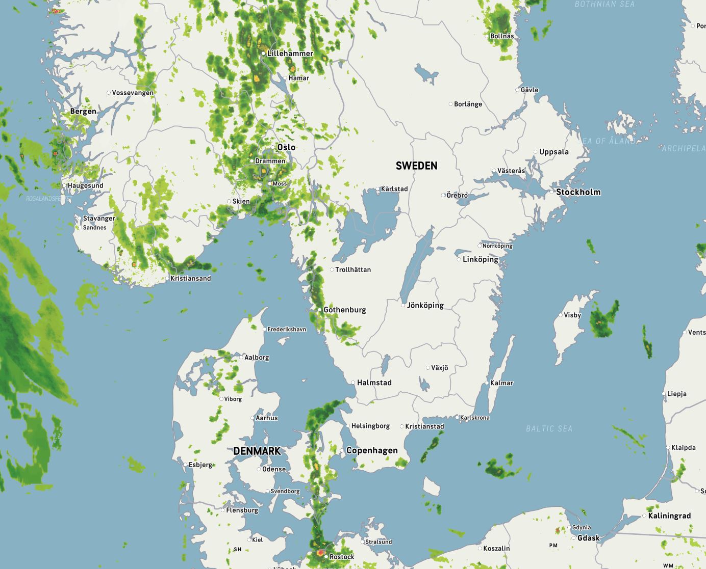
Use radar. Apps like DMI’s radar tool show live storm movement, which is far more useful when the sky might change every 15 minutes. It won’t predict tomorrow, but it can show you what’s heading your way right now.
And, surprisingly, the old sayings still hold. When swallows fly low, rain is usually on the way. The science? Rising humidity drives insects closer to the ground, and the birds follow.
Or consider: “When the sun sets in a sack, it rises in a stream.” Translation: if the sun disappears behind clouds in the evening, expect a gray, wet start to the next day.
Bottom line—your weather app wasn’t built for conditions like these. It gives you the average outcome, not the nuance. But weather isn’t average right now. It’s unpredictable, patchy, and fast-moving. So, check the radar, watch the skies, and maybe even the birds. They’ve been right longer than the apps have existed.